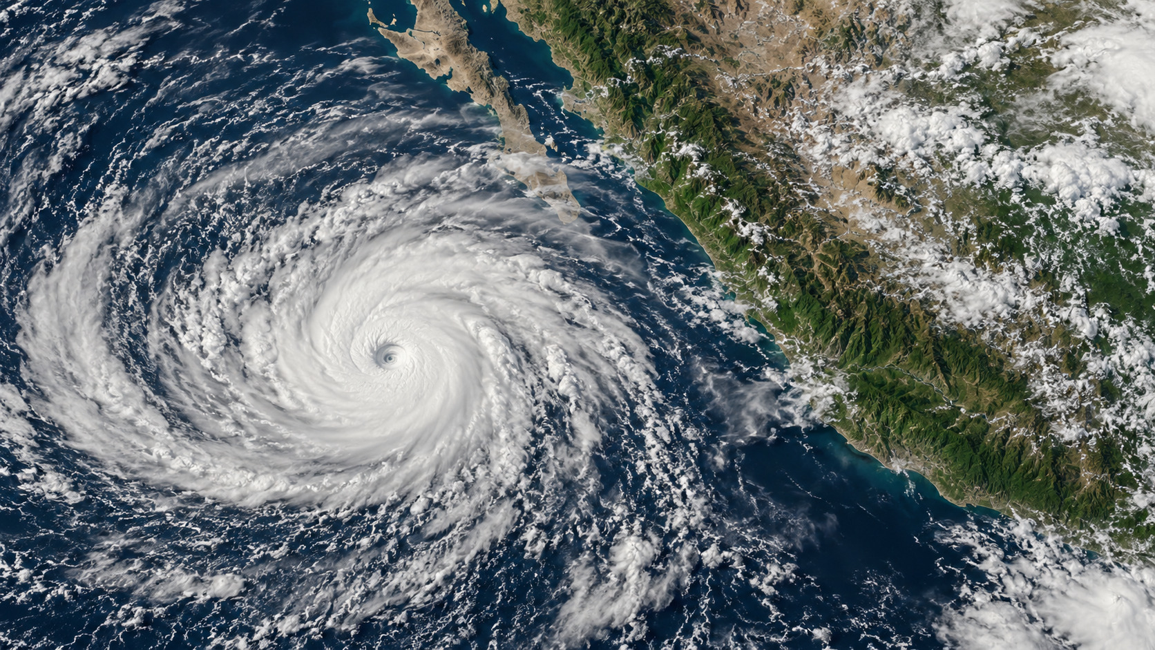
NASA Earth Observatory published a satellite account of Hurricane Simon on October 14. Its principal image was acquired on October 11, when the storm’s eye was about 50 kilometers offshore between Manzanillo and Puerto Vallarta. Publication time and observation time are three days apart.
The National Hurricane Center independently maintains Simon’s 2026 advisory archive, with forecast advisories, public advisories, discussions and wind probabilities organized by issue time. The archive corroborates the named storm and preserves a sequence rather than one authoritative-looking picture.
NASA’s account describes a Category 4 passage close to the Mexican coast and a smaller wind field as the inner core brushed the coast. It also shows atmospheric gravity waves in a separate nighttime observation. These are attributed descriptions of the October 11 record, not this morning’s wind estimate.
The logistics of evidence matter. A satellite image can establish where a cloud system was; a forecast estimates where it may go. This dispatch does not assert a present position, landfall time, evacuation instruction or damage total. Those require the appropriate current bulletin and local authority, not a newly published historical image.
Public source ledger