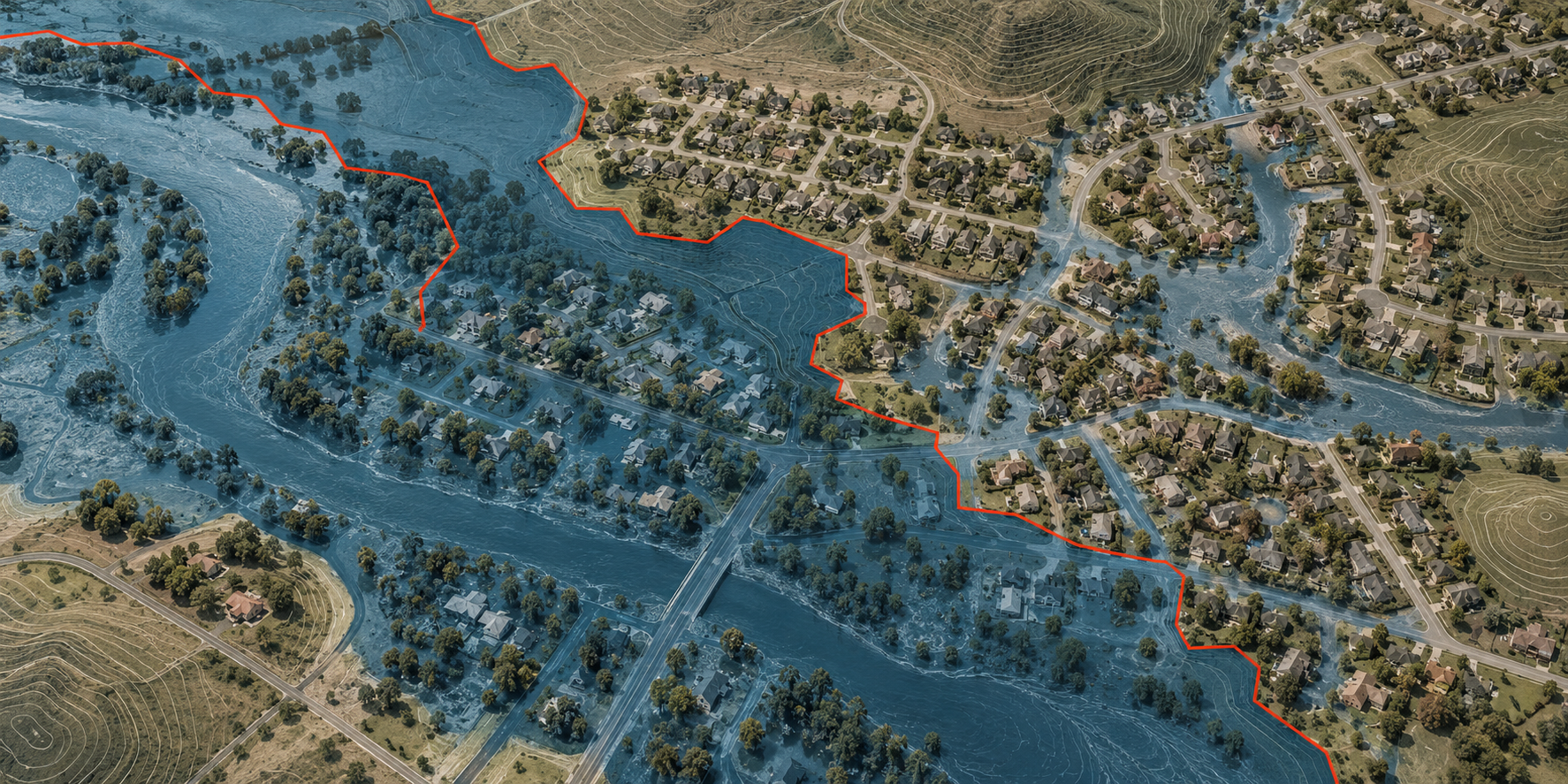
A boundary drawn to administer one kind of flood risk has become a switch for insurance behavior. The Government Accountability Office reports that 86 percent of properties it classified as high risk did not have National Flood Insurance Program coverage as of April 2026.
Federal law generally requires flood insurance for federally backed mortgages inside FEMA special flood hazard areas. GAO estimated NFIP coverage at 43 percent inside those areas and 2 percent outside them. Its analysis of First Street data identified about 13 million high-risk properties outside the FEMA boundary, where heavy rainfall is often the predominant hazard.
The institutional mechanism is stronger than the warning label. A mapped line can activate a purchase requirement, lender workflow and recurring premium. Risk outside the line may still be real, but the automatic transaction disappears. GAO asked Congress to consider coverage rules that reflect all flood sources, property-level risk information, lender quotes and higher coverage limits.
The numbers are estimates, not a parcel-by-parcel census. GAO combined NFIP records with a private flood model and says the data were sufficiently reliable for its purposes; private policies are not included in every property-level rate. Model choice and record matching therefore belong inside the conclusion, not in a footnote after it.
Public source ledger